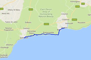
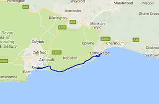
Day Forty Four - Seaton to Lyme Regis 11.0 km (6.8 miles).
Time on route 3:00hrs, walking time 3:00hrs.
Saturday 23 September 2017
The first memorable thing that happened today was that my watch broke at Seaton. So for the first time ever on the path I was walking time-blind (I keep my phone in my rucksack for emergency use only when I'm walking).
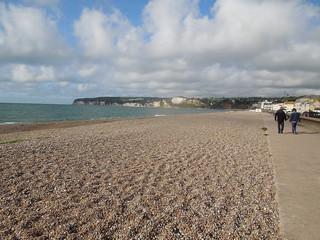
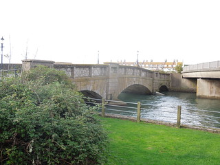
I left Seaton and walked over Axmouth Bridge. This listed bridge, built in 1877, is the oldest concrete bridge in the UK, but built to emulate a masonry bridge.
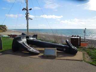
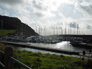
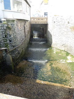
Axmouth Harbour.
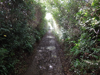
Up past Axmouth golf course, the path turned down a muddy path (I was to experience a lot of mud this day).
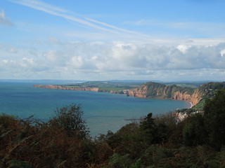
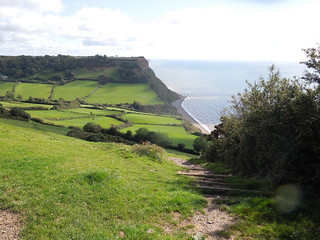
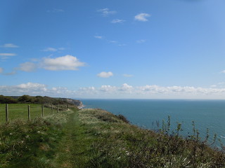
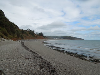
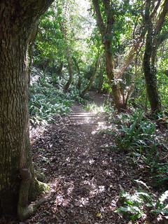
Initially the going was open and I walked over the Downlands Cliffs and Landslips. This particular area is called Goat Island which was caused by the Bindon landslide of 1839. It was so famous in its day that Queen Victoria herself came to view it.
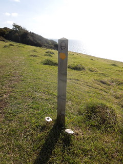
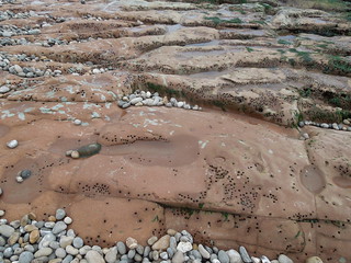
Not knowing how fast I was walking was strange. Stranger still was the route: a 10 km trek through the Undercliff National Nature Reserve. 10 km of sticky slippery mud and few way markers to measure one's progress. So I just trogged along the path in a timeless state, skidding occasionally and once falling right over and ending up in the mud. Not my finest hour.
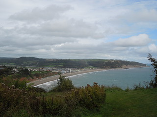
10 km later I emerged and pretty soon afterwards so did Lyme Regis. It was a sunny Saturday and the promenade was full of tourists in shorts and t-shirts. I looked very out of place in my muddy clothes and clodded boots.
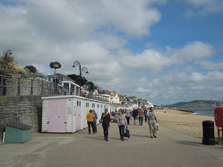
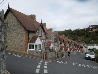
I was early enough into Lyme Regis that I ate my lunch there overlooking the River Lym, before catching the bus back to Seaton. Oh, and I'm now in Dorset by the way. My 4th county.
There was a lot of de-muddying to do once home...
Time on route 3:00hrs, walking time 3:00hrs.
Saturday 23 September 2017
The first memorable thing that happened today was that my watch broke at Seaton. So for the first time ever on the path I was walking time-blind (I keep my phone in my rucksack for emergency use only when I'm walking).
I left Seaton and walked over Axmouth Bridge. This listed bridge, built in 1877, is the oldest concrete bridge in the UK, but built to emulate a masonry bridge.
Axmouth Harbour.
Up past Axmouth golf course, the path turned down a muddy path (I was to experience a lot of mud this day).
Initially the going was open and I walked over the Downlands Cliffs and Landslips. This particular area is called Goat Island which was caused by the Bindon landslide of 1839. It was so famous in its day that Queen Victoria herself came to view it.
Not knowing how fast I was walking was strange. Stranger still was the route: a 10 km trek through the Undercliff National Nature Reserve. 10 km of sticky slippery mud and few way markers to measure one's progress. So I just trogged along the path in a timeless state, skidding occasionally and once falling right over and ending up in the mud. Not my finest hour.
10 km later I emerged and pretty soon afterwards so did Lyme Regis. It was a sunny Saturday and the promenade was full of tourists in shorts and t-shirts. I looked very out of place in my muddy clothes and clodded boots.
I was early enough into Lyme Regis that I ate my lunch there overlooking the River Lym, before catching the bus back to Seaton. Oh, and I'm now in Dorset by the way. My 4th county.
There was a lot of de-muddying to do once home...