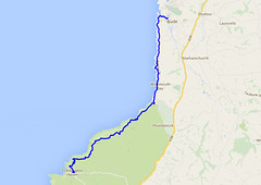
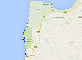
Day Eleven - Crackington Haven to Tregatta 20.6km (12.8 miles).
Time on route 6:35hrs, walking time 6:00hrs.
Tuesday 23 September 2014
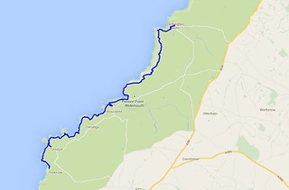
I left my car at my Tregetta B&B and caught the bus to Crackington Haven to pick up from where I finished on Monday.
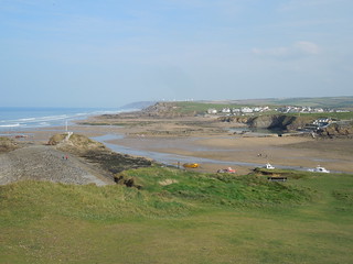
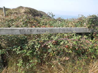
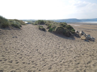
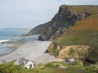
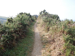
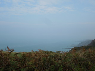
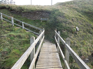
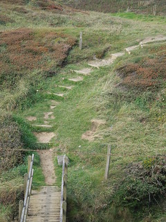
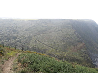
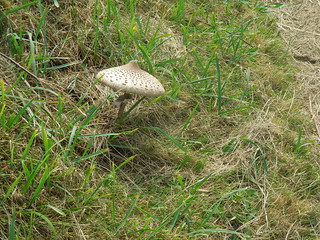
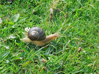
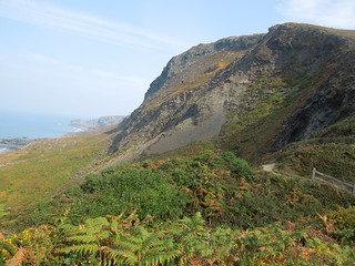
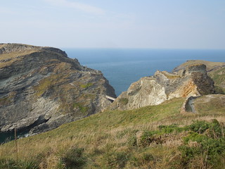
It was another hot day and my legs were a bit sore from the walking yesterday so my speed was certainly slower. The route south of Crackington Haven is wonderful though. Majestic hills with steep climbs and sweeping descents into valleys. Quite a wilderness feel to it and I revelled in its remoteness.
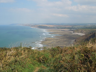
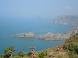
The photos don't really do this coastline justice.
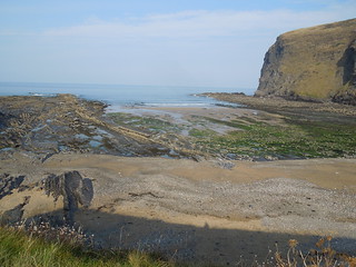
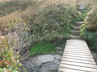
A steep downhill to cross a slate lined stream.
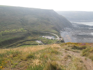
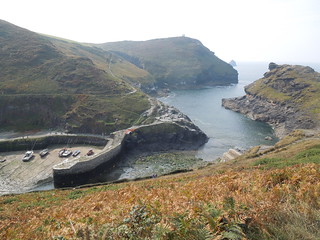
I stopped to watch some kestrels hunt before descending into Boscastle for a quick lunch stop.
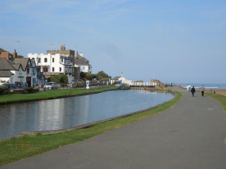
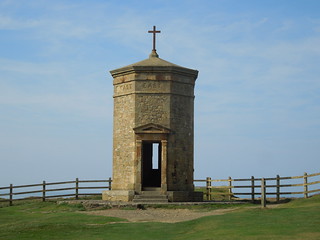
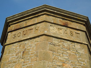
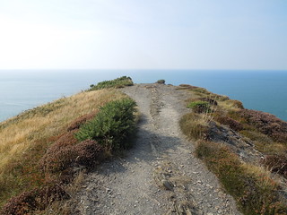
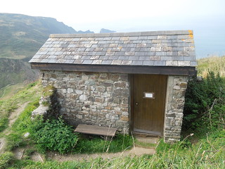
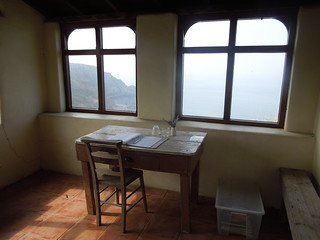
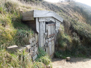
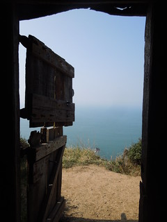
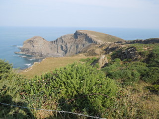
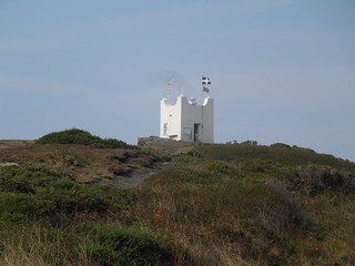
The stretch south of Boscastle is far more popular than the route I'd just completed. I climbed out up to Willapark passing the former coast guard station (originally a summer house).
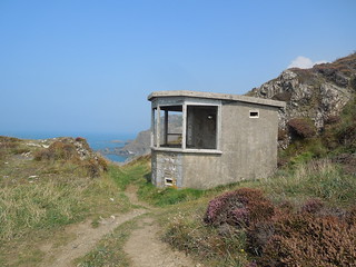
The guide book suggested I may see seals along this stretch but despite keeping my eyes peeled there were none around. The islands north of this coast used to host the largest colony of puffins in Cornwall but they were decimated once rats got onto the island.
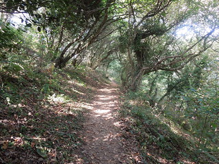
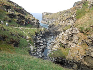
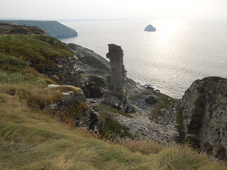
After a few kms the path drops into the aptly named Rocky Valley.
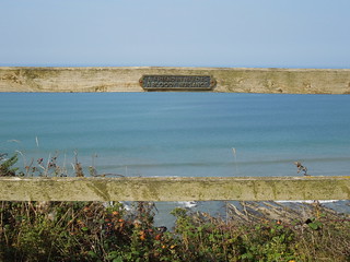
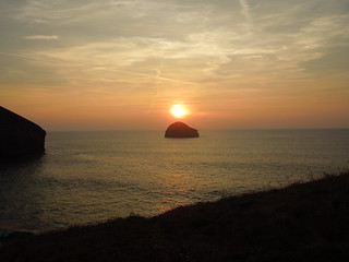
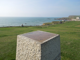
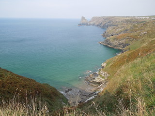
Beautiful views looking back along my route - a deep aqua coloured sea.
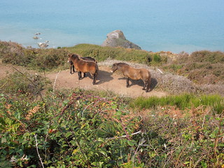
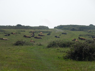
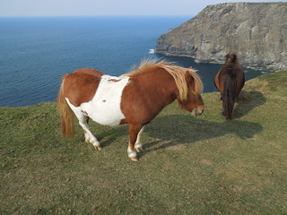
More ponies.
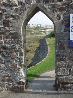
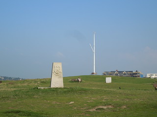
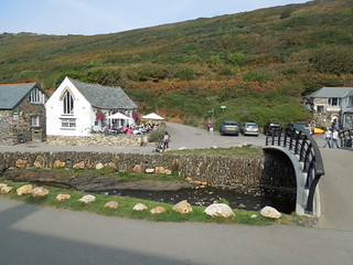
I muddled myself as I entered Tintagel walking along the 'out' path on the way 'in' by Tintagel Castle. Never mind, I strolled into Tintagel whichever way, had a gloriously much needed pot of tea, and left by the same route.
Not much to see of the castle now.
The route heads south past many old quarries. Just before I reached Lanterdan I left the path walking back to the B&B and my car.
Time on route 6:35hrs, walking time 6:00hrs.
Tuesday 23 September 2014
I left my car at my Tregetta B&B and caught the bus to Crackington Haven to pick up from where I finished on Monday.
It was another hot day and my legs were a bit sore from the walking yesterday so my speed was certainly slower. The route south of Crackington Haven is wonderful though. Majestic hills with steep climbs and sweeping descents into valleys. Quite a wilderness feel to it and I revelled in its remoteness.
The photos don't really do this coastline justice.
A steep downhill to cross a slate lined stream.
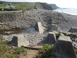
I stopped to watch some kestrels hunt before descending into Boscastle for a quick lunch stop.
The stretch south of Boscastle is far more popular than the route I'd just completed. I climbed out up to Willapark passing the former coast guard station (originally a summer house).
The guide book suggested I may see seals along this stretch but despite keeping my eyes peeled there were none around. The islands north of this coast used to host the largest colony of puffins in Cornwall but they were decimated once rats got onto the island.
After a few kms the path drops into the aptly named Rocky Valley.
Beautiful views looking back along my route - a deep aqua coloured sea.
More ponies.
I muddled myself as I entered Tintagel walking along the 'out' path on the way 'in' by Tintagel Castle. Never mind, I strolled into Tintagel whichever way, had a gloriously much needed pot of tea, and left by the same route.
Not much to see of the castle now.
The route heads south past many old quarries. Just before I reached Lanterdan I left the path walking back to the B&B and my car.